

Location analysis allows geographic data to be incorporated into business intelligence to find relationships between people, objects, events, etc. Today, business intelligence vendors are integrating spatial data and analysis tools into their products to offer additional visualization, reporting, and information analysis options.
For businesses globally, this implies a huge arsenal of new uses for geospatial data. Geolocation is widely used in retail, banking, and telecom, all of which need to communicate with customers on a geographic basis. But it’s not just about customer relationships: sometimes geospatial data is used as a basis for choosing a company’s development tactics – building new branches or locating ATMs.
The ability to analyze and understand geographic information has never been more important as the world becomes increasingly digital. With the development of satellite technology, free real time satellite imagery and historical satellite data become more available and affordable, making geospatial analytics more advanced by widening the scope of its opportunities.
What Does it Mean?
Geospatial analysis is the process of finding spatial patterns in the distribution of geographic data and relationships between objects. The advantage of geoinformation methodology is that GIS allows identifying, maintaining and managing spatial relationships between topological objects representing real world objects, creating new objects, relationships, linking new attributes.
It involves the use of sophisticated tools and techniques to process, interpret, and understand geographic information. This information can be used to make informed business decisions, perform urban planning, optimize logistics, improve disaster response, and more. Geospatial analytics provides a visual representation of data, enabling a better understanding of patterns and trends.
The data used in geospatial analysis can come from a variety of sources, including satellite imagery, aerial photography, GPS data, demographic data, and more. For instance, experts can retrieve the most recent satellite images for free just by using different online platforms and tools designed for this purpose. To analyze with geospatial tools, the data must have a spatial component, such as latitude and longitude.
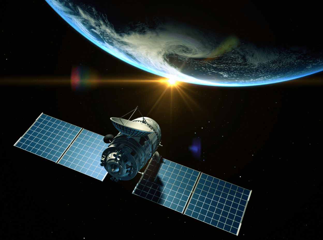
Satellite Imagery Analysis
It is important to understand that free satellite images themselves are not geospatial information itself. It still needs to be acquired. And doing this as efficiently as possible is a challenge for everyone involved in data analysis. Not so long ago, satellite imagery was predominantly used by the military and was almost inaccessible to other industries. More so, the processing of satellite data was done manually. But nowadays the number of satellites and the complexity of the tasks for them require more speed. Now you can quickly find an event on an image from one satellite and make another satellite to check the information by scanning that location again.
This is why artificial intelligence is gradually being used to analyze data. Over the past decade, neural networks have learned to analyze a large number of images and find certain objects and processes on them. This experience is quite applicable not only to find geospatial information about individual objects, such as the movement of ships with grain and seeded fields, but also to analyze how they interact with each other.
Which Businesses Benefit from the Use of Geospatial Analytics?
Geospatial analytics can provide valuable benefits to businesses in a variety of industries. Many retail and consumer goods companies, transportation and logistics companies, energy and utility companies, healthcare organizations, government agencies, and agriculture and natural resource management companies can benefit from geospatial analytics. These organizations can improve their operations by analyzing geographic data, making informed decisions and driving growth.
For instance, agricultural companies can use free satellite imagery to retrieve insights into field state to enhance activities planning. Because of its ability to provide valuable insights into geographic data, geospatial analytics can support informed decision-making and drive growth across organizations in a variety of industries.
Software for Geospatial Analytics: EOSDA LandViewer
With this digital tool for satellite imagery search, analysis, storage, and download users can get 10 free satellite images of Earth per day. To find the images, the tool enables search by the area of interest. When the image is found, the user can apply different default indices to it or create a custom one depending on the purpose of analysis. A processed image can be stored in a cloud and downloaded when needed.
Apart from that, the software allows for analysis of different satellite images to detect and visualize change. For that, the user can select various images of the same area taken by different satellites and on different dates and proceed with using the split view mode and time series analysis to visualize the results in a form of graph or a time-lapse animation.
The Future of Geospatial Analytics
Geospatial analytics is expected to grow rapidly in the upcoming years as more organizations adopt technology and tools for data mapping and analysis. The growing availability of free real time satellite images and other geospatial data is also expected to drive industry development. Increased demand for real-time data and the growth of the Internet of Things (IoT) will also boost geospatial analytics.

